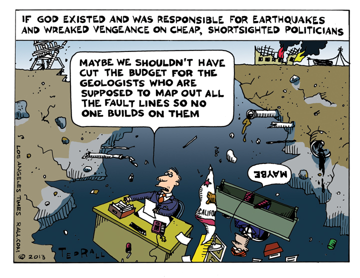
I draw cartoons for The Los Angeles Times about issues related to California and the Southland (metro Los Angeles).
This week: After the 1971 Sylmar earthquake, California began an ambitious effort to map faults across the state. Over the next two decades, officials published 534 maps of active earthquake faults. New construction was prohibited on top of these fissures because previous quakes showed that buildings could be torn apart during violent shaking. But the mapping campaign has slowed to a crawl â with many dangerous faults still undocumented. Since 1991, only 23 have been drawn. Because of budget cuts, none were completed between 2004 and 2011, according to records reviewed by The Times. State officials said there are still about 300 maps to draw and even more to revise â including some in heavily populated areas of Southern California. That represents about 2,000 miles of faults statewide.

